The Pascagoula River · Pascagoula River
riverThe Pascagoula, a river left to run
No dam holds back the main stem of the Pascagoula. It floods, drops, wanders through cypress and tupelo, and reaches the sound through miles of marsh.
Most big rivers in the American South have been dammed, straightened or locked somewhere along their length. The Pascagoula has not. It is often described as the largest river system in the contiguous United States without a dam on its main stem, and once you have spent a day beside it the description stops sounding like a statistic. The river does what rivers do when nobody stops them: it spreads into the woods in wet months, shrinks back to sandbars in dry ones, cuts new channels, and leaves old ones behind as quiet sloughs.
This guide follows the river from the place where it takes its name down to the marsh at its mouth, with the swamps, the legend and the practical side of getting out on the water.
A river with no dam on its main stem
The Pascagoula itself is not especially long. It forms in George County where the Leaf and the Chickasawhay rivers meet, then runs south for roughly eighty miles to the Mississippi Sound at the city of Pascagoula. What makes it large is the basin behind it. Those two parent rivers and their many creeks drain a wide piece of southeastern Mississippi, and all of that water reaches the coast through one channel that nobody has blocked.
That matters for more than scenery. A free river keeps its natural rhythm of flood and low water, and the bottomland forest depends on that rhythm. Seeds are carried and dropped by high water, fish move up and down without a wall in the way, and sediment still reaches the marsh at the mouth. The Gulf sturgeon, a large, ancient-looking fish protected as a threatened species, still uses the river system, which tells you something about how intact it is.
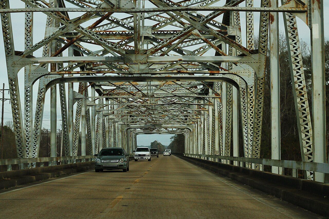

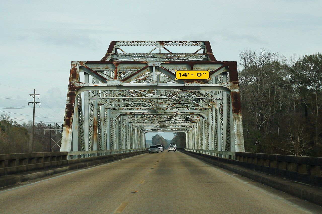
Most visitors first meet the river from a bridge. The old steel trusses on the state highways frame it briefly as you drive over, and the long Interstate 10 crossing near the coast shows you how wide the lower floodplain becomes. From either one you get a glimpse, but the river is best seen from its own level, at a launch or from a boat.
From the forks to the sound
The upper river runs between high, sandy banks under oaks, sweetgum and pines, with white sandbars on the inside of the bends when the water is down. These bars are the river's beaches, and on a low-water day in autumn they make easy stopping places. In a wet spring they disappear completely.
Further south the land flattens and the forest changes. Bald cypress and water tupelo take over in the low ground, sloughs and oxbow lakes branch off the main channel, and the banks become harder to see because the water simply runs into the trees. Near the coast the river splits into an eastern and a western branch, and the Escatawpa River joins from the east near the town of Moss Point, where the river's old sawmill and shipping history began.
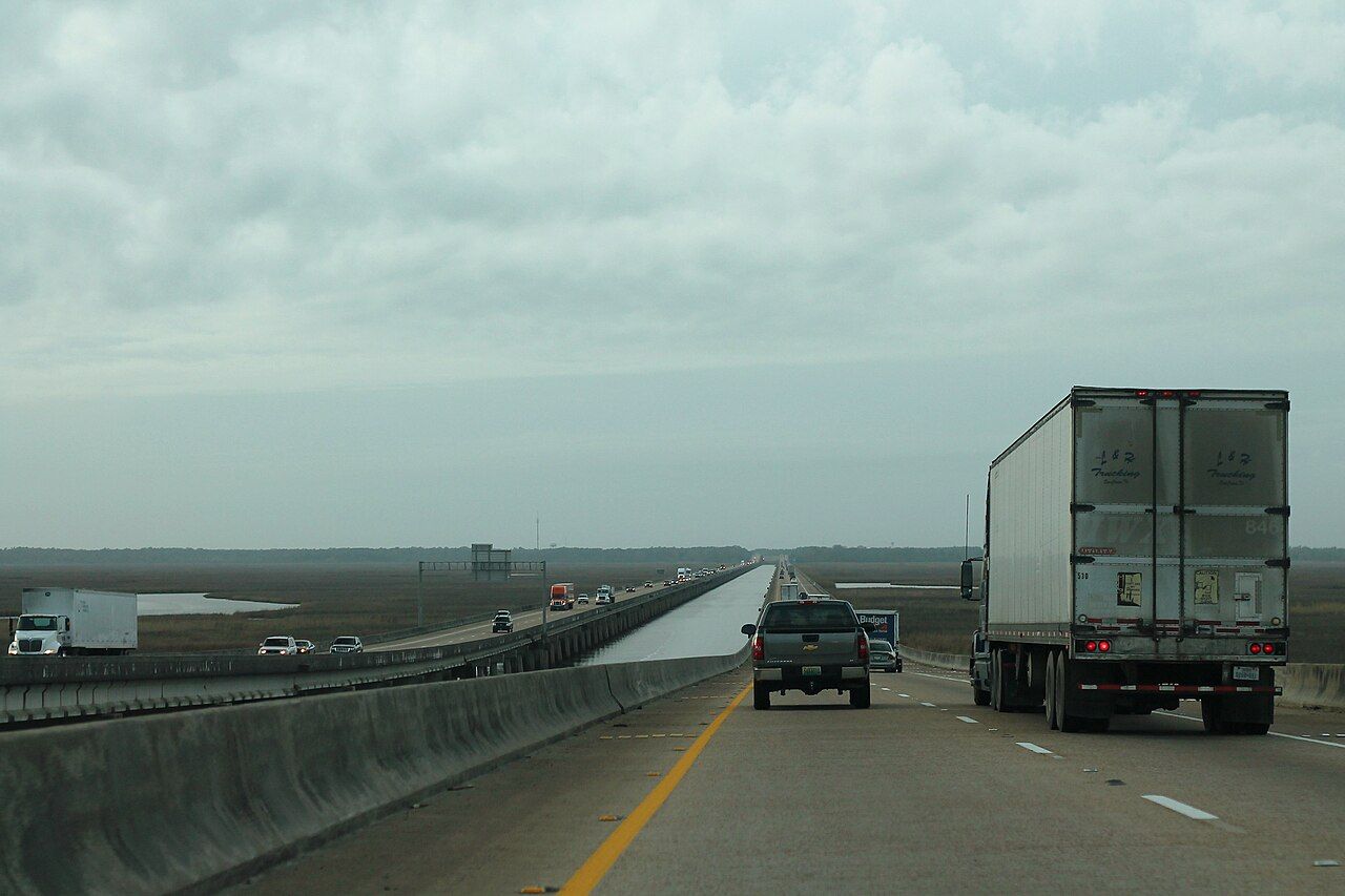

The last miles are marsh: needlerush and cordgrass, open water at high tide, mud at low tide, with the shipyards and port of Pascagoula at the very mouth. In a few miles you move from a forest river to an industrial harbor, and the contrast is part of the river's story.
The swamps of the lower river
The lower Pascagoula holds one of the larger bottomland swamps on the Gulf Coast. The trees stand in water for part of every year, and the forest floor is a maze of channels that change with the season. For a closer look at how the trees cope, see the guide to the bald cypress and tupelo swamps.
Wildlife is the reason many people come. Herons and egrets work the shallows, ospreys and bald eagles hunt the open reaches, and in summer swallow-tailed kites sometimes sweep low over the treetops. Alligators live throughout the lower river and its sloughs. Black bears are present in the wider region but rarely seen. In the evenings the frogs and insects can be loud enough to drown out conversation.
Further down the waterBirds of the Mississippi coastThe swamp is also hot, humid and full of biting insects for much of the year. Late autumn through early spring is the comfortable season, when the leaves are off the cypress, the mosquitoes are fewer, and the light reaches the water.
The Singing River, told as legend
The Pascagoula is also called the Singing River, and the name comes with a story. As it is usually told, the Pascagoula people, facing defeat in a war with the Biloxi, chose to walk together into the river rather than be conquered or scattered, singing as they went. The water, so the legend says, has carried their song ever since.
It is a legend, and it is told in several versions, some of them shaped by later writers rather than by the Pascagoula themselves. What can be said plainly is that the Pascagoula and Biloxi peoples lived along this coast before European settlement, and that people have long described hearing a faint humming from the river on still evenings. Insects, fish and gas from the riverbed have all been suggested as the cause, and none has settled the question. The full story has its own page: the Singing River legend.
A free river keeps its natural rhythm of flood and low water, and the bottomland forest depends on that rhythm.
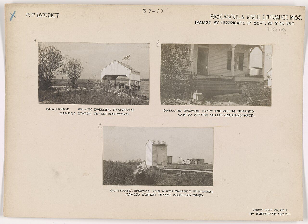

The river has a long human history at its mouth, too. Lighthouse keepers, fishermen and boatbuilders lived on the shore near the entrance, and storms have repeatedly reshaped what they built. Old records of hurricane damage from the early twentieth century show the same pattern the coast still lives with: storms come, water rises, people repair and carry on.
Seeing the river for yourself
Much of the river corridor is public land. The Pascagoula River Wildlife Management Area, managed by the state, covers a large stretch of the floodplain in George and Jackson counties, with dirt roads, primitive campsites and access points for boats. Hunting seasons apply there, so in autumn and winter check the dates and wear bright orange if you walk the woods. Rules for camping, fires and vehicles change; read the current regulations before you go.
Public launches at bridges and small parks give access to different reaches. A slow, flat stretch with sandbars suits a first trip; the maze of sloughs in the lower swamp is better left until you know the river, carry a good map and have a way to navigate without a phone signal. The guide to paddling the rivers covers boats, distances and planning in more detail.
- Water levels: check river gauges before every trip. A river that was low last week can be over its banks this week.
- Heat: in summer, start early, carry plenty to drink, and rest in the shade at midday.
- Alligators and snakes: keep your distance, never feed wildlife, and watch where you put your hands and feet on banks and logs.
- Lightning: summer afternoon storms build quickly. Get off open water at the first thunder.
Respect the river's emptiness too. Long stretches have no houses, no shops and no help close by. Tell someone your plan, take out what you bring in, and leave the sandbars as you found them. The Pascagoula has stayed wild because people have chosen to keep it that way.